
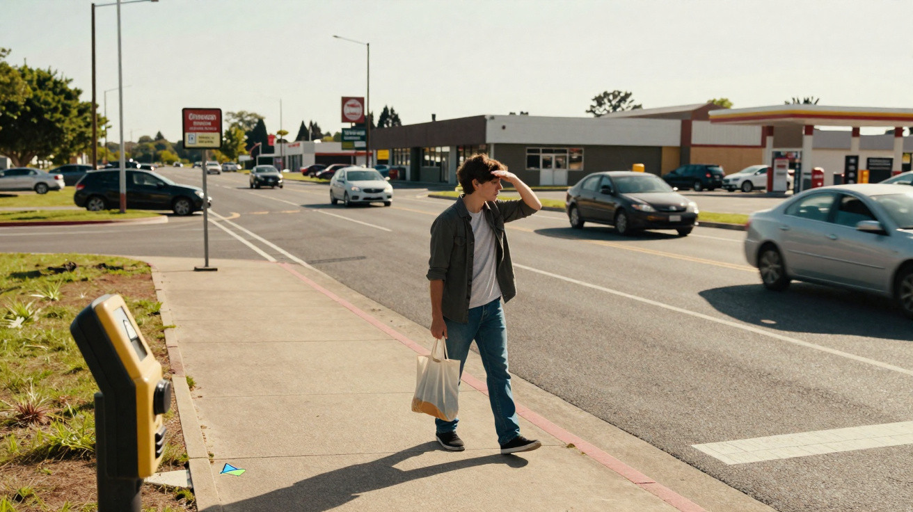
American roads reveal an unsettling contradiction. While many nations have brought down the number of people killed in traffic over the last 20 years, the United States has not followed the same trajectory.
Roughly 40,000 people are killed on US roads every year, and that headline figure has barely shifted. Yet beneath the apparent stability, the pattern of risk has changed markedly.
Deaths among pedestrians and cyclists have climbed steeply, changing who is most at risk on the streets.
That shift prompts a key question: why are people outside vehicles becoming increasingly vulnerable?
A recent study suggests a less obvious explanation. The greatest threat may be driven not only by street design, but by the way cities and suburbs position everyday destinations.
Rising pedestrian deaths
Pedestrians and cyclists now make up one in five traffic deaths in the United States. Since 2000, fatalities in these groups have risen by 68 percent.
On a per-kilometre-travelled basis, pedestrians are exposed to far higher danger than people travelling inside cars.
For years, specialists have pointed to wide lanes, faster traffic and inadequate crossings. Those elements remain important, but they do not fully account for the increase.
Instead, the new study redirects attention towards land use, showing how the siting of shops and services can increase exposure to risk.
Europe chose a different path
Across several European countries, the outcomes look very different. Between 2000 and 2020, Sweden cut traffic deaths by 65 percent.
The Netherlands reduced fatalities by half. The United Kingdom achieved a 57 percent reduction.
A shared feature is that these countries more closely match road design to surrounding land use. In Germany, streets lined with buildings tend to have low speed limits. In the UK, major roads often restrict nearby commercial activity.
By keeping high-speed traffic apart from everyday places where people walk and cycle, this approach lowers the likelihood of conflict between vehicles and people.
U.S. cities designed around cars
The United States urbanised under different pressures. After 1950, rapid population growth and outward expansion shaped cities and towns, and planners largely built these areas around the car.
Ideas such as the “neighborhood unit” influenced suburban form: homes were grouped into quieter enclaves, while shops and services were placed along busy arterial roads.
Over time, that model spread widely across metropolitan regions.
As a result, many Americans now live in suburbs where routine errands are located on high-speed roads rather than within easy walking distance.
Shops moved to busy roads
Retailers typically seek visibility. Roads with heavy traffic can be attractive locations for a grocery store, pharmacy and fast food outlets.
These businesses often cluster along arterial routes that carry thousands of vehicles daily.
The problem is a clear mismatch: arterial roads are built to move cars efficiently, but they are poorly suited to safe walking.
The study set out to test whether this pattern helps explain higher crash rates.
Land use strongly increases crashes
Researchers assessed about 357 km (222 miles) of arterial roads across Miami, Orlando and Tampa. They examined intersections and road segments, alongside surrounding land use.
They also analysed four years of crash records involving pedestrians and cyclists.
The team evaluated familiar influences including speed limits, number of lanes, traffic volumes and the presence of pavements. Even so, one factor stood out.
Land use showed the strongest association with serious crashes.
For each additional grocery store, pharmacy or similar business near an intersection, crash risk rose by more than 10 percent. Each fast food outlet increased it by 25 percent.
Rethinking traffic safety
Once land use was included in the modelling, several other variables became less influential. On its own, road design did not account for the pattern the researchers observed.
“This research changes how we think about traffic safety in ways that matter for the public, policymakers and local governments,” said Eric Dumbaugh, the study’s senior author from the Florida Atlantic University (FAU).
“Traffic deaths are often treated as isolated incidents or engineering problems, but our findings show they are also shaped by how communities are planned and developed.”
“That insight is especially important in a fast-growing state like Florida, where growth, safety and community design are closely linked.”
People drawn into danger
Arterial roads carry built-in risk. Wider lanes and higher speeds can create dangerous conditions, but the danger becomes tangible only when people have reason to be there.
Land use provides that reason. A grocery store generates footfall. A bus stop compels people to cross. A shopping centre can turn a road into a routine destination.
The study found that many of the most hazardous intersections sat close to large retail anchors. Collisions frequently occurred along direct walking routes from nearby neighbourhoods.
Walkable streets show fewer crashes
The researchers also looked at walkable commercial streets.
These places contained many businesses-often more than the dangerous arterials-yet they recorded far fewer crashes.
Rates of severe injury fell substantially. Across several of the walkable streets studied, there were no pedestrian deaths during the research period.
Such streets tend to support lower speeds, shorter crossing distances and tighter links between homes and shops.
Two possible solutions
One route is to re-engineer arterial roads, but that would mean reconstructing thousands of kilometres of infrastructure, making it a daunting option.
“The problem with this approach is that there are 178,000 miles of urban arterial streets in the U.S., an extent that is more than three times the length of the nation’s Interstate Highway System,” Dumbaugh said.
“While it may not be necessary to redesign the entire system, even modifying a small portion would be a major undertaking, requiring a significant reallocation of capital resources and a fundamental shift in political will.”
A second route focuses on land use. By locating essential services away from high-speed roads, fewer people would be forced to cross them.
Planning can prevent risk
Travel occurs because people need to reach destinations. If those destinations are placed in safer settings, exposure to danger declines.
The study indicates that land use patterns can predict crash risk with high accuracy, meaning cities could apply this knowledge before approving new developments.
That represents a shift from responding to collisions after they occur to reducing the likelihood of them happening in the first place.
Better planning to protect pedestrians
Many US cities have adopted Vision Zero policies. In practice, these often prioritise engineering measures such as signals and speed limits. They are beneficial, but they may not tackle the underlying driver.
If land use determines exposure, then planning decisions have a direct influence on safety outcomes.
“Safety is not just about how streets are designed, it’s about how communities are built,” Dumbaugh said.
“If the U.S. is serious about achieving zero deaths, land use planning must become central to the solution.”
Ultimately, safer streets rely not only on how roads are built, but on where everyday life is located.



Comments
No comments yet. Be the first to comment!
Leave a Comment