
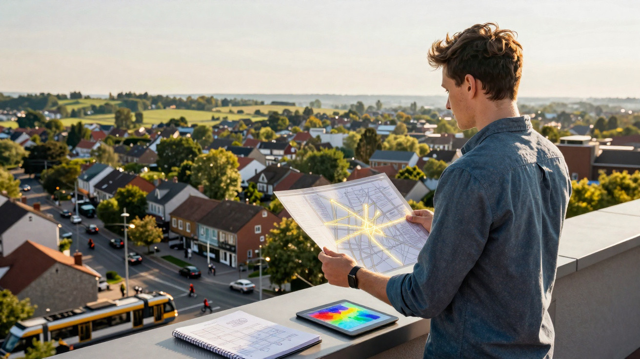
Not long ago, most towns and cities had borders you could trace with confidence. A lively city centre would taper into calmer neighbourhoods, then into farmland and, beyond that, open countryside. That sort of sharp dividing line is increasingly difficult to spot.
Now, housing estates, transport routes and commercial sites extend outwards in irregular, uneven spreads. Places that once felt distinct are more likely to blend and overlap.
How we define a city influences how we develop land, how we safeguard nature, and how people experience everyday life. When the boundaries become fuzzy, traditional planning approaches can miss what is really happening.
New research argues that the lines themselves need to be reconsidered.
The study’s lead author, Steward Pickett, is an urban ecologist and scientist emeritus at the Cary Institute of Ecosystem Studies.
“There used to be a clear boundary between cities relative to the countryside and the wild, but that has been changing for a long time,” said Pickett.
“You can’t just walk in a straight line from a city center and define where the ‘urban’ ends.”
A patchwork view of the continuum of urbanity
The researchers set out a straightforward, yet influential, way of thinking about place. Rather than sorting land into neat labels-urban, rural or wild-the study treats locations as combinations of each.
In practice, one area may be strongly urban, while the next might include a heavier mix of trees, agriculture or undeveloped land.
“It’s like patchwork or a mosaic,” noted Pickett. “You can have a place that’s 70% urban and 30% rural right next to a place that’s the opposite, or has some wild mixed in.”
The team calls this idea the continuum of urbanity, a description that matches what many people already recognise around them.
Coyotes are increasingly seen in suburbs. Small pockets of food growing appear on street corners. Meanwhile, rural communities take on city-like patterns, from remote work to online shopping.
How connections shape daily life
These blended environments are not simply accidental. They are held together by flows of movement and exchange.
Motorways, rail networks and even digital connections tie together places that once seemed distant. People travel to work, goods circulate, and information moves rapidly.
The Mid-Hudson Valley in New York is used to illustrate the point. The region contains small cities, farmland and woodland, yet remains closely linked to New York City.
The Hudson River, major roads and rail routes maintain that connection, with knock-on effects for housing, employment and decisions about how land is used.
Changes that have a cascading effect
The COVID-19 pandemic brought a clear example of how shifts can ripple through a connected region. Many city residents relocated into the valley. Property prices rose, and wooded areas came under greater pressure from development.
At the same time, the surge in online retail increased demand for warehouses, added lorry traffic, and reshaped local employment.
Impacts do not stop at regional borders. International trade can transport pests such as the emerald ash borer and spotted lanternfly, both of which harm forests. Consumption in one place can also drive deforestation elsewhere.
Climate change further complicates matters, influencing migration patterns and altering how landscapes change over time.
When boundaries create blind spots
When land is treated as either urban or rural, important dynamics can be overlooked. One example highlighted is that reconnecting forest fragments in suburban areas has enabled blacklegged ticks to spread, raising the risk of Lyme disease.
That type of unintended outcome is easier to miss when planners rely on overly simple categories.
“The message of the Mid-Hudson River Valley case is that familiar urban and rural features are tightly linked,” wrote the researchers.
“One cannot be understood without the other, nor can policies, plans, and interventions neglect the entanglement of the seemingly discrete urban and rural human ecosystem characteristics.”
This perspective encourages decision-makers to consider the system as a whole. A transport upgrade, a housing strategy or a conservation project can all have effects across multiple kinds of spaces at once.
Four ways to understand a place
To explain how these mixed landscapes work, the study sets out four interacting dimensions. Together, they help describe what people experience where they live.
Livelihood examines how people make a living. Within the same region, a farmer, a warehouse employee and a remote technology worker may all participate in different parts of the economy.
Lifestyle looks at identity and social connections. Choices such as housing type or the vehicle someone drives can signal a blend of rural heritage and urban influence.
Connectivity covers more than physical infrastructure. It includes money, communication and relationships that link far-apart locations. For instance, a household in a rural area may depend on income earned by someone working in a city elsewhere in the country.
Location brings these elements together in a specific setting. The local geography shapes how the other factors interact.
Why this shift matters now
Adopting this approach can change how choices are made. It nudges people to pause and look beyond single aims such as maximising efficiency.
“We hope that the continuum of urbanity encourages people to slow down and think before they design, build, or renovate,” said Pickett.
“For example, someone might want to coordinate the traffic lights to reduce traffic and gasoline consumption. That’s all well and good, but if you only design your city for efficiency, you’re likely to neglect some of the amenities people need for a pleasant, healthy life.
“Our framework slows you down and makes you ask, ‘How’s this going to affect how people live, or where they can recreate, or how they can build social relationships?’ If your profession is an urban ecologist or an urban designer, an urban planner, or a city manager, you have to be aware of all of these components.”
How climate impacts are manifesting
Other research groups are already applying the framework. It is being used to assess how green spaces influence both wildlife and human wellbeing.
It is also informing how specialists evaluate climate-related risks, particularly where development meets more natural land.
“The concept provides an extraordinary framework for considering how climate impacts are manifesting within the natural systems that bind the region together,” said study co-author Robert Freudenberg.
“If we are going to plan and manage our way to adapt to climate change, and hopefully avoid its very worst impacts, understanding the ecological interactions that branch across our developed places will be essential.”
A more flexible way forward
The continuum of urbanity remains a work in progress. Researchers are still refining methods for measuring it and translating it into practical planning tools.
Even so, the central point is straightforward: places are not fixed boxes. They are shifting mixtures that change with time.
Study co-author Winslow Hansen leads a large collaborative focused on reducing the risk of catastrophic fires in the western U.S.
“In my current area of work, we think about the wildland urban interface as a distinct boundary between human communities and wild areas as the epicenter of fire risk,” said Hansen.
“But if you instead embrace a continuum of urbanity, then risk mitigation from fire could become more nuanced, tailored to local ecological and social conditions rather than viewing the world as clearly categorized into one or the other.”
This change in perspective may be subtle, but it reshapes how everyday choices are approached. It invites a simple question: what if the boundaries we depend on were never as real as we assumed?
The full study was published in the journal npj Urban Sustainability.

Comments
No comments yet. Be the first to comment!
Leave a Comment