
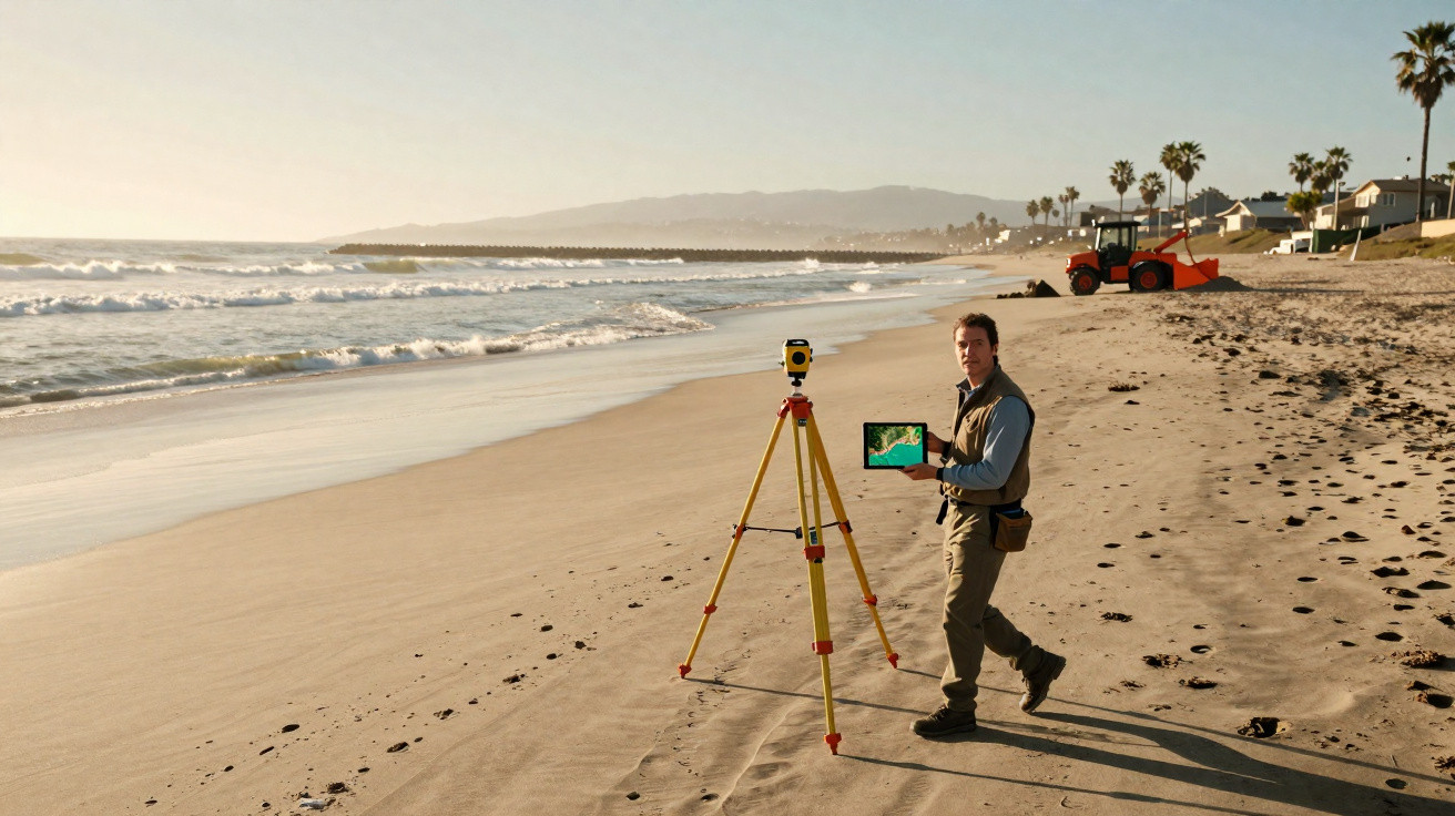
For years, the narrative around Southern California’s beaches has been bleak: dams hold back sand, cities have paved over rivers, and waves steadily bite into the coast.
The logic seemed straightforward - less sand arriving, more shoreline lost. Yet the coastline has delivered an unexpected twist.
Across the last four decades, Southern California’s beaches have, on balance, become larger. Since the mid-1980s, they have added more than 500 acres, despite this being one of the most urbanised and heavily dammed coastal stretches anywhere.
Southern California beaches expand despite erosion
Using new satellite-based tools, researchers measured shoreline change from 1984 to 2024. The results challenge the familiar storyline: overall, beaches in Southern California widened by about 10 percent over that period.
The changes were far from uniform - some beaches lost ground quickly, while others broadened markedly. But taken across the full 320 kilometres (about 200 miles) of coastline, the net signal is growth.
“This is a counterintuitive finding considering previous reports of widespread beach erosion in Southern California,” said study co-author Brett Sanders, a professor of civil and environmental engineering at UC Irvine.
“While several individual beaches did experience severe erosion, there were also several that experienced dramatic widening, and the overall trend shows widening at an average rate of 7.2 meters across 320 kilometers of Southern California coastline.”
In total, 49 percent of the shoreline recorded significant widening, while 31 percent showed notable narrowing.
Beaches are not changing evenly
That overall gain hides stark regional contrasts. Among the most affected locations are areas near Malibu and the northern parts of the Oceanside region.
In some sections, widely recognised beaches - including Doheny, San Clemente and San Onofre - narrowed by more than one metre per year. This ongoing retreat has harmed both public assets and privately owned property.
Elsewhere, the opposite is happening. The most pronounced gains tend to appear near human-made structures such as harbours and jetties, as well as in natural settings where currents concentrate sand into convergence zones.
The challenge is not a lack of sand
The study’s lead author, Jonathan Warrick, is a researcher at the U.S. Geological Survey’s Pacific Coastal and Marine Science Centre in Santa Cruz.
“The primary challenge facing Southern California beaches is not sediment shortage, but sediment distribution,” said Warrick.
“Some of the most rapidly widening beaches – including McGrath State Beach, Huntington Beach, and Venice Beach – now measure approximately 200 meters, or over 600 feet, wide.”
“These locations benefit from sediment trapped by coastal structures or accumulating in natural sand convergence zones.”
Within the San Pedro littoral cell - which includes Sunset Beach, Huntington Beach and Newport Beach - the average widening over the 40-year record was 25 metres (over 80 feet).
A substantial share of this expansion appears linked to beach engineering schemes and to the way coastal structures steer sand movement along the shore.
The satellite revolution
A key reason this picture is now emerging is the availability of consistent, high-resolution satellite observations spanning decades - something earlier researchers simply did not have.
“These new tools are revolutionizing how we assess beaches and their changes,” noted Professor Sanders.
“Beaches were previously monitored by field crews using surveying equipment, or with aerial flights that scan the coast with laser surveys, but the costs of these approaches limited the frequency and spatial extent of available data.”
“Satellite imagery now allows us to measure beach width everywhere, several times per month.”
With that regular, wide-area coverage, scientists can detect patterns that short snapshots may miss, and distinguish long-term shifts from temporary swings driven by storms or seasonal cycles.
Dams, sand, and management
For decades, California’s large dams have reduced sand reaching the coast to roughly half of historic volumes. Rivers now transport less sediment downstream than they once did.
Even so, the region’s beaches have not simply disappeared. Additional inputs help sustain the system, including sand released as coastal bluffs erode.
Many coastal communities also top up beaches through mechanical placement - transporting or pumping sand ashore in a process known as nourishment.
Some harbours, including Santa Barbara, Ventura and Channel Islands/Port Hueneme, already run sediment bypass systems that move sand past jetties and breakwaters.
The researchers argue that scaling up those kinds of efforts could enable “more equitable, widespread and natural use of littoral sediment resources.”
The central message is that Southern California may not be facing an absolute sand deficit. Instead, sand can become trapped in places where it does less to protect the broader coastline.
Still, improving redistribution is not straightforward. Moving sediment is expensive, permitting and regulatory processes can slow work, and political boundaries split the shoreline into jurisdictions with competing priorities. On top of this, institutional inertia can further delay attempts to manage sediment more deliberately.
A coast under pressure
None of these findings imply the beaches are secure indefinitely. Sea level rise and more intense storms associated with climate change will increase pressure, and a wide beach today offers no guarantee of the same tomorrow.
What the study does indicate is that the system is more dynamic than many people assumed, shaped by both natural processes and human choices.
Harbours, jetties and nourishment projects influence where sand accumulates, while improved datasets now make these patterns easier to see.
“These data give us a much-needed systems perspective of beach dynamics, making it easier to find the entry points required for effective management,” said Professor Sanders.
Southern California’s shoreline, then, is not solely a tale of decline. It is an ongoing, shifting balance between erosion and expansion - shaped by currents, cliffs, concrete and policy. Sand continues to move; the uncertainty lies in where it will settle next.
The complete study appeared in Nature Communications.






Comments
No comments yet. Be the first to comment!
Leave a Comment