
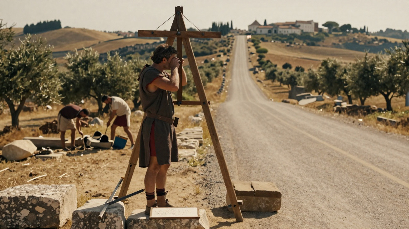
Roman roads became renowned for looking almost ruler-straight, even when they ran for long distances. That effect was not down to luck, but to a mix of measuring instruments, military-style planning, and smart adjustments to the terrain before any construction began.
Why did Roman roads look so straight?
The Romans favoured direct routes because a straight road cut journey times and made it easier to move troops, trade goods, and send messages between towns. On level ground this aim was far more achievable, allowing long stretches with very few bends and detours.
You can see the same pattern on well-known routes such as the Via Appia in Italy and Stane Street in southern England. Even so, the reputation for perfection needs a dose of caution, because not every Roman road stayed straight from start to finish.
Pursuing a direct line brought several clear benefits:
- Empire: direct routes linked towns, ports, and frontier areas.
- Measurement: tools made it possible to hold long alignments.
- Flat terrain: helped create routes with almost no curves.
- Logistics: troops and goods could travel more predictably.
- Obstacles: mountains, rivers, and valleys still forced alterations.
Which instruments helped the Romans align roads?
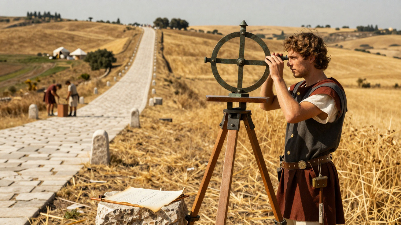
Roman land surveyors relied on measuring tools to set out directions, angles, and levels. Among the instruments specialists point to are the groma, the dioptra, and the chorobates, each serving a role in the planning of the works.
The groma was particularly significant for fixing alignments and right angles. Using a vertical staff with cross-arms, cords, and hanging weights, it enabled the mensor (the Roman surveyor) to establish lines in space before the road was cut into the ground.
How did surveyors keep the direction across the landscape?
The job was not simply one person staring at the horizon. Several surveyors could position themselves along the intended line, lining up posts or visual markers until they formed a continuous direction that stayed controlled and consistent out in the field.
Straight lines before paving
The road began as a measured layout.
Alignment came first, then adjustments to the relief, and only afterwards the physical building.
A straight line was the goal, but it could not ignore rivers, slopes, and difficult ground.
Once the direction had been set, the Romans assessed the local topography. If the route met an overly steep climb, a tricky crossing, or an important settlement, the line could be altered to protect use, safety, and functionality.
The method combined steps such as:
- Choosing the destination and setting the route’s main axis.
- Using instruments to align visible points across the terrain.
- Marking sections with posts, stakes, or natural reference points.
- Modifying the line when faced with rivers, mountains, and gradients.
- Building firm layers to support drainage and traffic.
Why weren’t all Roman roads perfectly straight?
The idea of Roman roads as absolutely straight lines is overstated. On plains, they could keep remarkably long alignments, but in mountainous or uneven regions it was necessary to follow more practical routes for carts, animals, and everyday travellers.
There were also earlier roads that the Romans reused after conquering an area. Rather than wiping out the entire local network, they often incorporated existing paths, reshaping certain sections to suit military movement, trade, and imperial administration.
Detours happened mainly because of:
- Mountains, valleys, and slopes that were difficult for wheeled vehicles.
- Rivers, wetlands, and locations offering better crossing points.
- Towns, forts, and settlements that needed to be connected.
- Older routes absorbed into the Roman network.
What does this engineering reveal about Rome?
In explaining how the Romans produced roads that looked so straight, the key point is that precision came from combining technique, labour, and political purpose. The road served as a tool of control and integration.
Roman straightness was not merely aesthetic. It reduced uncertainty, organised territory, and brought distant parts of the empire closer together. That is why many of these routes still fascinate archaeologists today: they show an ancient kind of engineering able to unite measurement, strategy, and durability.


Comments
No comments yet. Be the first to comment!
Leave a Comment