
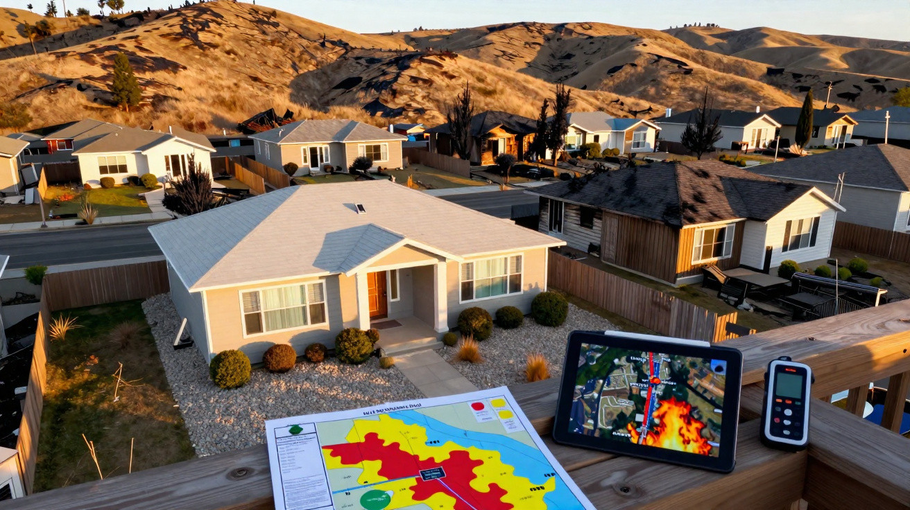
When a wildfire sweeps through a neighbourhood, the aftermath can seem brutally arbitrary: one home is left standing while the property next door is reduced to its foundations.
That apparent randomness is largely misleading. Researchers at the University of California, Irvine (UC Irvine) reviewed more than 100,000 post-fire building inspections and found that destruction tends to follow clear, repeatable patterns.
Their most telling indicator was not the weather or the landscape. It was the building itself.
Wildfire damage was not random
Somnath Bar and his fellow researchers analysed 100,230 inspection records collected across California from 2013 to 2024.
Those records were produced by the California Department of Forestry and Fire Protection (CAL FIRE), whose teams log the condition of every structure following a fire.
In total, the inspections spanned 22 fires. Among the buildings assessed, 53,879 were destroyed, and 86 percent of the damaged structures were located where homes border open vegetation - the area planners describe as the wildland-urban interface.
“We uncovered predictable features in how buildings are destroyed in California’s wildfires, which shows that the damage pattern is not random,” said Bar, a postdoctoral scholar in civil and environmental engineering.
“We have found that by identifying the precise combination of structural, environmental and weather factors involved, we can establish a comprehensive, physically interpretable framework to explain, model and project which buildings are most likely to be damaged or destroyed by fire.”
Why some homes ignite first
To determine what mattered most, Bar’s group first trained a machine-learning model on the inspection data, then introduced weather and terrain information step by step. The factor that dominated was a home’s own flammability.
Each building was scored according to its components. Fence materials contributed the largest share at 16 percent, followed by external cladding at 15 percent, year of construction at 14 percent, roofing materials at 13 percent, and eaves at 10 percent.
Wooden fences and timber cladding can trap embers and then transmit flame directly to the adjacent wall. Meanwhile, older properties, open eaves and unscreened vents make it easier for embers to reach combustible material.
“Fire risk is compounded when these building practices come face to face with environmental factors like atmospheric aridity, high heat, wind, and dry fuels such as trees, shrubs and grasses,” said Tirtha Banerjee, an associate professor of civil and environmental engineering at UC Irvine.
Dry air raised the odds
Environmental conditions also left a distinct fingerprint. In a second analysis designed to tease apart true drivers from apparent chance, dry air emerged as the strongest single influence.
The researchers measured dryness using vapour pressure deficit - an indicator of how readily the air can pull moisture from vegetation and wood. For each one-percentile increase in this dryness measure, the likelihood of damage rose by about two percent.
The periods most associated with home losses were those that combined extreme heat, very dry air and strong winds. Low dew points and higher wind speeds further intensified the risk.
Wildfire risk map predicts damage
Using these results, the team produced a statewide map called the Wildfire Building Damage Risk Index. It estimates the probability of damage for grid cells roughly 100 metres (about 330 feet) across, covering all of California.
At its most detailed, the model forecast damage with 88 percent accuracy. When simplified to include only terrain and land cover - excluding weather and building details - performance dropped to 74 percent.
To test whether the map would generalise, the researchers withheld three major fires and then asked the model to predict outcomes for them: the CZU Lightning Complex and Hennessey fires in 2020 and the Bear Fire in 2024.
Even for fires it had not been trained on, the full model still identified damage correctly 76 to 82 percent of the time.
“Local jurisdictions and homeowners can use the WBDRI map to prioritize defensible space inspections and fuel reduction investments in zones where the probability of damage exceeds 0.55, the threshold where the return on investment for structural hardening and vegetation management is highest,” said Bar.
Where people keep building
A significant share of the danger is tied to development patterns - specifically, where new housing is being constructed.
Across the United States, the wildland-urban interface expanded by about 33 percent between 1990 and 2010, adding more than 12 million structures.
California has continued to build further into this zone. From 2020 to 2022, more than 80 percent of newly built homes in the state were constructed in areas rated as high fire risk.
The January 2025 Palisades and Eaton fires underlined the consequences, with more than 16,000 structures destroyed as Santa Ana winds drove flames into neighbourhoods in Los Angeles.
Properties that burned were often situated at mid-elevations - around 520 metres (about 1,700 feet) - on gentler slopes that can channel and accelerate wind.
Surrounding fuels, including grasses, chaparral and oak woodland, further increased vulnerability because they ignite readily.
Changes that homeowners can make
The inspection dataset is not complete. It includes 22 fires rather than every incident, excludes smaller fires outside CAL FIRE’s remit, and contains no inspection records from 2018.
The model’s accuracy also declined when applied to regions that were not well represented in its training data.
Given California’s wide variety of landscapes - from coastal forests to desert - a single statewide relationship cannot be expected to hold equally well everywhere.
“The strong influence of building flammability on damage tells us something encouraging: Homeowners and communities are not powerless,” said Bar.
“Replacing wood fencing, upgrading siding to noncombustible materials, retrofitting eaves and installing ember-resistant vents can substantially reduce the probability that a structure is lost in a wildfire.”





Comments
No comments yet. Be the first to comment!
Leave a Comment